 rivers | guidebooks | forums | tips | other
Class: V, III; Ave. Gradient: 18 m/km Upper, 6 m/km Lower; Portages: yes; Length: 12 km; Time: 5 hours
Season: June to November; rafts? Lower; Highlights: fun creeking; Crux move: not fun portaging
Water Quality: decent; Water Temperature: not noted
PI: Rancho Viejo (943 m); TO: Santa Ana Huista (755 m) or El Tabacal (717 m)
Description: (click here for general notes about my descriptions)
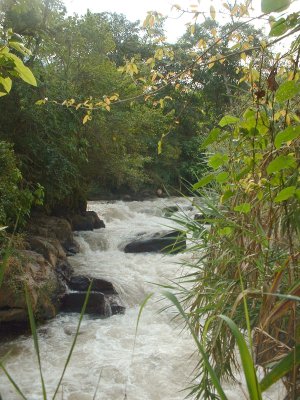
The Río Santa Ana is an unusually well hidden creek on the western side of the Cuchumatanes mountains. Below Santa Ana, at El Tabacal, the river enters an impressive cave and I have yet to find the resurgence. Upstream, and above ground, the river passes through a beautiful narrow jungly valley complete with side waterfalls and sabino trees, not to mention lots of challenging creeking in a gorge on the way.
A full description is in the Mayan Whitewater Guatemala guidebook.
Descent History: I got on this in November 2003, with 250 cfs at the PI. The lower part was run in 1997 by a rafting group: guides Roberto Rodas, Jennifer Miller, and Francisco Linga, Manuel Rodas, and the Hermanos Castillo.
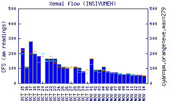
Flow Notes: You can use the gauge on the parallel Río Selegua as a guide. The Santa Ana often has enough water for creeking during the rainy season.
 |
Nearby Tourist Attractions: The town of Todos Santos Cuchumatán is far upstream on rough roads (or via Huehuetenango on better roads).