 rivers | guidebooks | forums | tips | other
Class: III, II ; Flow: 150-500 cfs; Ave. Gradient: 12 m/km Anguiatú, 2 m/km lower Angue; Portages: one above San Jerónimo; Length: 13, 13 km; Time: 2, 2 hours
Season: June to October ; rafts? Angue; Highlights: ; Crux move:
PI: El Valle LosQuijadas(618m) or San Jerónimo(462m); TO: La Barra (435 m) or above
Description: (click here for general notes about my descriptions)
The Río Anguiatú is a chance to explore another heavily-farmed part of the El Salvador- Guatemala border. The creek is continuous rocky class III and you will spend most of your time in a futile attempt to find the deeper channels (if you find access further down your luck will be better). There is a fun basalt trough to run above the confluence with the RR Río Angue, and a bigger basalt crack 4 minutes below the confluence (you will likely portage its entrance).
A full description is in the Mayan Whitewater El Salvador, Honduras, & Nicaragua guidebook.
Descent History: I explored here October 2022, with 150 cfs at the PI.
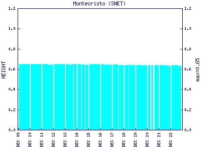
Flow Notes: These rivers only go with heavy rains. The gauge on the parallel Río San José is a guide (in 2022, 0.58 on that gauge gave 500 cfs at San Lorenzo and 150 cfs at El Valle Los Quijadas), and any forecast spilling of the Río Guajoyo dam (see below) is a good sign.
 |