 rivers | guidebooks | forums | tips | other
Class: III ; Flow: 200-400 cfs; Average Gradient: 21 m/km; Portages: no; Length: 5 km; Time: hike + 40 mins
Season: August to February; rafts? no; Highlights: nice jungly scenery; Crux move: getting upstream
Put-In: hike in (120 m); Take-Out: Ruta La Selva road (8 m)
Description: (click here for general notes about my descriptions)
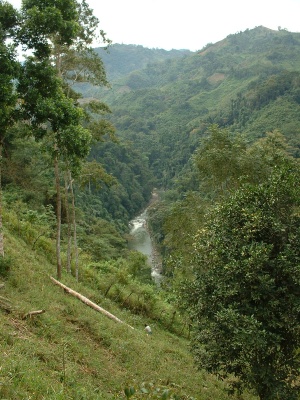
The Río Cuyamel is a beautiful little creek in the jungly northwest Caribbean coast. From where I started, about 5 km up, the rapids were straightforward III/III+. I hiked up 2 hours with a local guide to get to that spot. (I see now in Google Earth that it might be possible to drive in to higher access, at a place called Mogotillo, RR, or on another road to San Antonio de Las Palmas, RL, though they are above what looks to be an obstacle-ridden gorge.)
A full description is in the Mayan Whitewater El Salvador, Honduras, & Nicaragua guidebook.
Descent History: Udo Witteman was the first, in the 90s. I ran it once in 2003.