 rivers | guidebooks | forums | tips | other
Class: IV; Ave. Gradient: 14 m/km; Portages: one dam; Length: 21 km; Time: 4 hours
Season: June to October; rafts? challenging; Highlights: great class IV; Crux move: Middle Is Money drop
Water Quality: decent; Water Temperature: warm
PI: Lajillal (426 m); TO: Puente Zamora (132 m)
Description: (click here for general notes about my descriptions)
The Río El zapote off ers one of the best class IV runs in the country. These are quality, technical, non-boogie-water rapids—and with few scouts and only one portage required. There are almost no people along the river until the last hour so it feels quite remote. Near the end I passed three generations of women on the riverbank who were uncharacteristically excited to see me. The grandma gave me some hearty applause, and that is how I felt about the river.
A full description is in the Mayan Whitewater Guatemala guidebook.
Descent History: I ran this solo in October 2014, with 650 cfs at the PI.
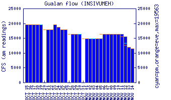
Flow Notes: The Río El Zapote is one of the biggest creeks in the Gualán-Los Amates area but is as rain-dependent as the others. on my run, 2.0 on the Gualán gauge and 2.2 on the Morales gauge gave a nice 650 cfs at the PI.
 |
Nearby Tourist Attractions: Valle Dorado water park.