 rivers | guidebooks | forums | tips | other
.jpg)
Class: IV+; Ave. Gradient: 16 m/km; Portages: plenty; Length: 10.5 km; Time: 7 hours
Season: June to January; rafts? no; Highlights: unique scenic creek; Crux move: scouting and portaging
Water Quality: good; Water Temperature: cold
PI: Lamá (1485 m); TO: Tzunutz (1315 m)
Description: (click here for general notes about my descriptions)
The Río Tzunutz is a challenging creeking trip and nature hike wrapped into one. Set in a humid and mossy cloud forest, the scenery is fantastic, and unique in Guatemala. The heart of the run is a long and narrow bedrock canyon with complicated rapids that caused us to portage many times. I wish I had given myself more opportunities to get on this one over the years and “dial in” more of the route.
A full description is in the Mayan Whitewater Guatemala guidebook.
Descent History: I explored this in january 2007 with Maarten Bleijerveld. We saw 250/550 cfs at the PI/TO.
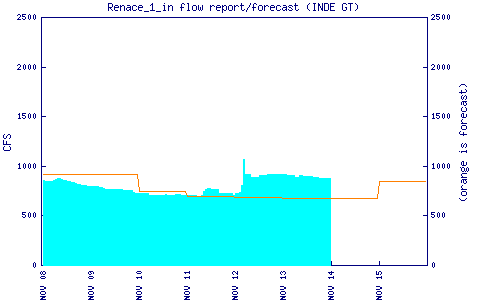
Flow Notes: The Río Tzunutz always has some water but needs regular and recent rain for a good level. The Renace I dam downstream reports an inflow estimate which is helpful. The Cobán rain gauge is also helpful. The area is not overly prone to flash flooding but heavy rain can spoil whatever fun you are having. Get an early start.
 |
 |
Nearby Tourist Attractions: Las Islas balneario.