 rivers | guidebooks | forums | tips | other
Class: IV-, III, II; Ave. Gradient: 9 m/km; Portages: small dams; Length: up to 27 km; Time: up to 4 hours
Season: June to October; rafts? no; Highlights: coastal scenery; Crux move: catching the water
Water Quality: average; Water Temperature: medium
PI: Romec bridge (318 m) or CA-2 bridge (218 m); TO: Morazán (98 m) or Pueblo Nuevo Tiquisate (65 m)
Description: (click here for general notes about my descriptions)
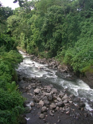
The Río Siguacán is another hard to catch creek in this area that passes through a lovely canyon near the coastal highway, then into a prettier than average lowland trench.
A full description is in the Mayan Whitewater Guatemala guidebook.
Descent History: I ran this one solo in September 2004.
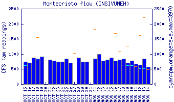
Flow Notes: The Río Siguacán only comes up during very rainy periods. The gauge on the parallel Río Cutzán is a good indicator of relative levels. The gauge on the parallel Río Madre Vieja is also worth looking at (though has higher elevation sources).
 |
Nearby Tourist Attractions: Lago Atitlán, Los Tarales and Los Andes nature reserves, El Semillero beach.