 rivers | guidebooks | forums | tips | other
Class: IV; Ave. Gradient: 12 m/km; Portages: none; Length: 12 + 18 km; Time: 2 + 3 hours
Season: June to October; rafts? no; Highlights: creeky canyons; Crux move: catching the water
Water Quality: poor; Water Temperature: not noted
PI: La Poza de la Pila (770 m) or Los Amates (602 m); TO: San José La Arada
Description: (click here for general notes about my descriptions)
The Río San José, along with its tributaries, is another that suffers from the Dry Corridor effect. The second section, starting from Los Amates, is your best bet but even then you have to get pretty lucky with the rain. The rock in the first section is volcanic conglomerate, while in the second part you see some slate mixed in.
A full description is in the Mayan Whitewater Guatemala guidebook.
Descent History: Rocky Contos and I explored this July 2010, with 100 cfs at the PI.
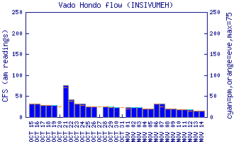
Flow Notes: The Upper Río San José is quite hard to catch. When the parallel Río Shutaque is high you have a chance.
 |
Nearby Tourist Attractions: Ipala volcano.