 rivers | guidebooks | forums | tips | other
.jpg)
Class: IV; Ave. Gradient: 24 m/km; Portages: wood?; Length: 12 + 6 km runout; Time: 4 hours
Season: July to January; rafts? no; Highlights: variety of creeky rapids; Crux move: getting to the PI
Water Quality: good; Water Temperature: not noted
PI: Samiljá I (400 m); TO: La Tinta (57 m)
Description: (click here for general notes about my descriptions)
The Río Samiljá is a sweet little creek with awful road access. Contact me for more information.
Descent History: George Pratsinak and I ran this in December 2007.
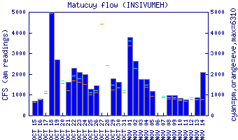
Flow Notes: Heavy recent rains are required for this run to have a fun level. The Río Matanzas gauge is downstream.
 |
Nearby Tourist Attractions: not much in this area.