 rivers | guidebooks | forums | tips | other
.jpg)
Class: III+; Ave. Gradient: 9 m/km; Portages: a low bridge in Upper; Length: 10 + 12 km; Time: 1.5 + 2.5 hours
Season: June to October; rafts? Lower; Highlights: nice canyon in Lower; Crux move: catching the water
Water Quality: decent; Water Temperature: medium
PI: Finca Candelaria (340 m), or CA-2 bridge (250 m); TO: Rancho Marilandia
Description: (click here for general notes about my descriptions)
The Río Petacalapa is a scenic little creek that hides a very pretty canyon in its depths. When the water is up it off ers some nice options for intermediate boaters.
A full description is in the Mayan Whitewater Guatemala guidebook..
Descent History: The first known descent was in October 2006 by Bob Vranich, Maarten Bleijerveld, and me. We had 100 cfs at the PI.
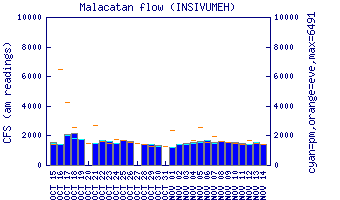
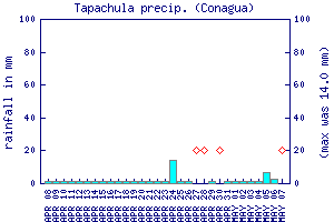
Flow Notes: The Río Petacalapa needs recent rains to be runnable, and even then we have always found it a bit shallow. Use the Río Cabúz gauge to get an idea of trends. The Tapachula rain gauge, shown below, may give some clue to recent rainfall patterns.
 |
 |
Nearby Tourist Attractions: Not much close by.