 rivers | guidebooks | forums | tips | other
.jpg)
Class: IV, III+; Ave. Gradient: 18 m/km; Portages: none; Length: 12 + 5 km; Time: up to 3 hours
Season: June to October; rafts? no; Highlights: fun creeking; Crux move: catching the water
Water Quality: decent; Water Temperature: medium
PI: San Luis creek (370 m) or Pajapá bridge (130 m); TO: La Isla bridge (80 m)
Description: (click here for general notes about my descriptions)
The small Río Pajapá had always eluded me. It had intriguing gradient and usually some water the few times I went by, but not quite enough. When we finally caught a higher flow, we were not disappointed—lots of quality rapids with no committing passages. And the run passes through pretty rubber plantations and by many jungly cliffs. But even that day we could have used more water. So, the Río Pajapá rarely has as much water as it deserves.
A full description is in the Mayan Whitewater Guatemala guidebook.
Descent History: The first known descent was in June 2014 by Nils Saubès and me.
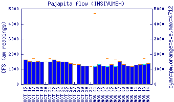
Flow Notes: The Río Pajapá needs heavier than average rains to come up. In 2014, we had 300 cfs in the upper parts with a reading of 1.7 on the Río Cabúz gauge. There is a new gauge downstream on the Río Nahuatán (no correlation data).
 |
Nearby Tourist Attractions: Manchón-Guamuchal nature reserve near Tilapa.