 rivers | guidebooks | forums | tips | other
.jpg)
Class: III+, II+; Ave. Gradient: 6 m/km; Portages: none; Length: 6 + 8 km; Time: up to 3 hours
Season: June to October; rafts? Lower; Highlights: easy shuttle; Crux move: applying sunscreen
Water Quality: decent; Water Temperature: medium
PI: Nahuatán bridge (115 m) or Puntarenas bridge (60 m); TO: Melendrez bridge (30 m)
Description: (click here for general notes about my descriptions)
With straightforward read-n-run rapids, the Río Nahuatán offers some easier boating in the warm Pajapita area.
A full description is in the Mayan Whitewater Guatemala guidebook..
Descent History: The first known descent was in June 2014 by Nils Saubès and me.
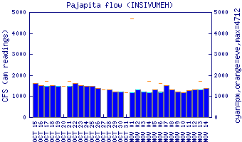
Flow Notes: The Río Nahuatán needs heavier than average rains to come up. It is has a gauge at the Lower PI. I do not have correlation data.
 |
Nearby Tourist Attractions: Manchón-Guamuchal nature reserve near Tilapa.