 rivers | guidebooks | forums | tips | other
.jpg)
Class: IV; Ave. Gradient: 20 m/km; Portages: several up top, plus the big one; Length: 10-18 km; Time: 2.5+ hours
Season: June to October; rafts? no; Highlights: scenery and rapids; Crux move: El Rincón portage
Water Quality: poor; Water Temperature: cool to cold
PI: lower Pacán (1472 m), upper Pacán (1545 m), or maybe Chipacacab (1644 m); TO: La Garrucha (1290 m)
Description: (click here for general notes about my descriptions)
The shorter and slightly easier Top section of the Río Motagua is a wonderful prelude to the IV/V stuff downstream. If you are lucky enough to be around during a rainy period, get on it. Think twice about putting on at the uppermost PI though, since that requires negotiating the Rincón.
A full description is in the Mayan Whitewater Guatemala guidebook.
Descent History: I came through El Rincón unwittingly in july 2005 (a high 800 cfs at Pacán). Nils Saubès and I ran from Pacán down in September 2014 (500 cfs at Pacán).
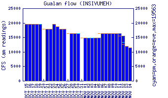
Flow Notes: The only working online gauge is way downstream at Gualán. In 2014, 2.0 on the gauge gave 500 cfs at Pacán. Expect (and hope for) brown water.
 |
Nearby Tourist Attractions: Chichicastenango market town and Lake Atitlán.