 rivers | guidebooks | forums | tips | other
.jpg)
Class: III+; Ave. Gradient: 7 m/km; Portages: none required; Length: 14 km; Time: 2 hours
Season: June to November; rafts? yes; Highlights: family rafting?; Crux move: applying sunscreen
Water Quality: poor; Water Temperature: medium
PI: Vega de Godinez (720 m) or Pixcayá bridge (754 m); TO: Concua (620 m)
Description: (click here for general notes about my descriptions)
The Middle is where the Río Motagua’s gradient takes a little break, and the shore becomes wider rock beaches, scoured by floods. The main river feature in this part is the joining of the Río Pixcayá, a significant side stream and additional paddling route. The Middle section is perfectly paced for kayakers moving into class III.
A full description is in the Mayan Whitewater Guatemala guidebook.
Descent History: The Middle Río Motagua was first run by rafters Tammy Ridenour (Maya Expeditions founder), Tom Boice, Axel Álburez, and others, circa 1990.
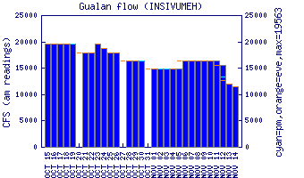
Flow Notes: The Middle Río Motagua has been run at a wide range of levels, even flood stage levels of 8000+ cfs. The closest working online gauge is way downstream at Gualán. Flows do not correlate very well. In 2012-2014, 1.5 on the gauge gave between 350 cfs and 1,200 cfs at Vega de Godinez; 3.0 gave ~6,000 cfs. The gauge at Morales is even further downstream.
 |
Nearby Tourist Attractions: Mixco Viejo Mayan ruins near the PI.