 rivers | guidebooks | forums | tips | other
Class: IV; Ave. Gradient: 17 m/km; Portages: one; Length: 16 km; Time: 4 hours
Season: June to October; rafts? no; Highlights: nice canyons; Crux move: catching the water
Water Quality: decent; Water Temperature: medium
PI: Finca La Patria (375 m); TO: CA-2 bridge (110 m)
Description: (click here for general notes about my descriptions)
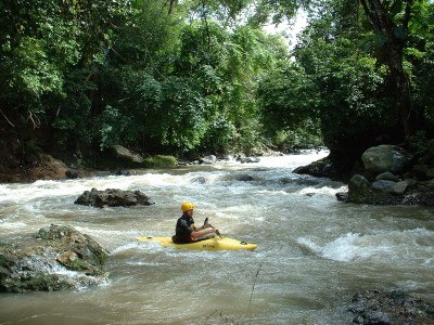
The Río Mocá is another attractive creek in this area, with a remote and atmospheric PI in a very narrow little canyon in the middle of a rubber plantation. The water rarely comes up high enough to run it, though. on this river you see a good deal of village life, particularly riverside laundry chores.
A full description is in the Mayan Whitewater Guatemala guidebook.
Descent History: Mike Shimanski and I ran this in September 2005. We had 300 cfs at the PI.
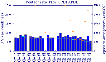
Flow Notes: Heavy rains are needed. Note that flows look healthier at the narrow PI than they do at the wide and sandy TO bridge. The gauge on the parallel Río Cutzán is a good indicator of relative levels.
 |
Nearby Tourist Attractions: not much in this area.