 rivers | guidebooks | forums | tips | other
Class: III+; Ave. Gradient: 6 m/km; Portages: wood; Length: 15 km; Time: 3 hours
Season: June to December; rafts? no; Highlights: run; Crux move: catching the water
Water Quality: good; Water Temperature: medium
PI: Agua; TO: Zacapa
Description: (click here for general notes about my descriptions)
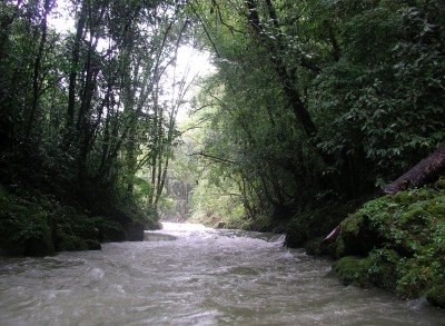
The Río Mestelá (a.k.a. Sachisay or Chío) is a pretty creek close to Cobán. It has long flat sections but affords a nice view of the Cobán countryside. In the beginning are some (covered) fern plantations. The best parts are in the middle with nice scenery and at the end with a good sequence of class III-/III+ rapids. In between are two obstacles: a terrible log jam caused by clear cutting (portaged on RL) and a 20-foot-high dam which also must be portaged. Contact me for more information.
Descent History: I explored this solo in August 2008.
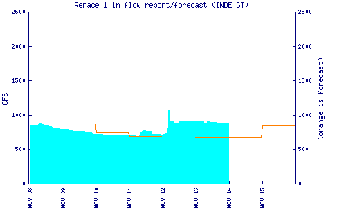
Flow Notes: High water levels are needed to kayak the Mestelá. The Renace I dam on the Río Cahabón downstream reports an inflow estimate which is helpful. The Cobán rain gauge is also helpful.
 |
 |
Nearby Tourist Attractions: Cuevas de Rey Marcos in Chamelco.