 rivers | guidebooks | forums | tips | other
Class: V; Ave. Gradient: 22 m/km; Portages: a few; Length: 19 km; Time: 6 hours
Season: June to October; rafts? no; Highlights: canyon scenery; Crux move: finding the key to La Puerta
Water Quality: average; Water Temperature: not noted
PI: Conacaste (574 m); TO: Aguacapa powerhouse (157 m)
Description: (click here for general notes about my descriptions)
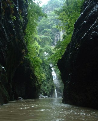
The Upper Río María Linda (it could also be called the Lower Río Aguacapa) is a spectacular and committing creek. Unfortunately almost all of its water is diverted by the Aguacapa dam. Unless you catch it when the dam is spilling, which I never have, you will be on rocks as much as on water for the first hour or so. At low water there was only a couple of class V rapids, all near the beginning; at spilling levels you should count on a few more.
A full description is in the Mayan Whitewater Guatemala guidebook.
Descent History: I ran this solo in October 2003, with less than 50 cfs at the PI and 700 cfs at the TO.
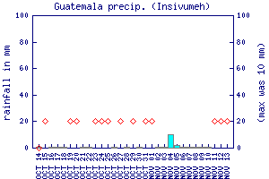
Flow Notes: At the PI there is almost never enough water for decent kayaking, so you wait for heavy rains and make the best of it (except when the dam is spilling which can occur during dangerous stormy days). The best hint for levels is probably the Guatemala City rain gauge. It is worth calling the Aguacapa hydro engineers’ phone number at 4216-1732 to ask about the dam spilling potential (the operators’ names currently are Urí, Alexis, Luis Carlos, and Douglas).
 |
Nearby Tourist Attractions: Autosafari Chapín.