 rivers | guidebooks | forums | tips | other
Class: IV-; Ave. Gradient: 10 m/km; Portages: none; Length: 9 km; Time: 1:30
Season: June to December; rafts? no; Highlights: extended-season dam releases; Crux move: calling ahead for flow
Water Quality: average; Water Temperature: medium
PI: below El Cobano dam (110 m); TO: CA-2 bridge
Description: (click here for general notes about my descriptions)
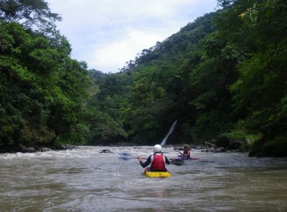
The Lower Río María Linda was for a long time my go-to training run. With dam-release flows (Aguacapa dam), it is the closest reliable water to Antigua. Now, the new El Cobano dam has flooded the 1st km and dried the next 2 km of the original run, half of the best part. So now there is less class III/IV- than before, but I will probably return to here from time to time to enjoy what’s left, especially in November-December when most other rivers are slowed to a trickle.
A full description is in the Mayan Whitewater Guatemala guidebook.
Descent History: 1st descent by Greg Schwendinger 8/19/03. It has been run up to moderate water levels.
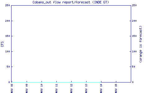
Flow Notes: Outflows of the El Cobano dam is available online.
 |
Nearby Tourist Attractions: You are in-between Antigua, one of Guatemala's major tourist centers, and Monterrico, Guatemala's most popular beach hang-out.