 rivers | guidebooks | forums | tips | other
Class: III; Ave. Gradient: 10 m/km; Portages: none; Length: up to 24.5 km; Time: up to 4 hours
Season: June to October; rafts? yes; Highlights: none; Crux move: wearing nose plugs
Water Quality: poor; Water Temperature: warm
PI: Patulul (345 m) or CA-2 bridge (225 m); TO: Finca Puyumate (90 m)
Description: (click here for general notes about my descriptions)
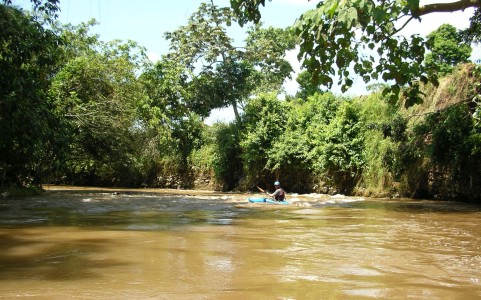
The Lower Río Madre vieja would make a reasonable beginner/intermediate run except for the unsightly amount of trash along the river. There are not many rapids or hazards of note, and the access is easy.
A full description is in the Mayan Whitewater Guatemala guidebook.
Descent History: I first ran above the highway in August 2003. Gary Lee Chrisman and I ran below the highway in September 2004.
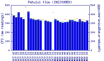
Flow Notes: The Río Madre vieja maintains a borderline floatable water level most of the rainy season, but your boat will appreciate it if you wait for an extra rainy period. There is a gauge at the PI.
 |
Nearby Tourist Attractions: Lago Atitlán, Los Tarales nature reserve.