 rivers | guidebooks | forums | tips | other
Class: III; Ave. Gradient: 4 m/km; Portages: 1; Length: up to 19 km; Time: up to 5:30
Season: year-round; rafts? no; Highlights: travertine slides through the jungle; Crux move: avoiding a nose full of water
Water Quality: decent; Water Temperature: medium
PI: Santa Rita (154 m) or Porvenir (140 m); TO: Las Conchas (110 m) or Finca Santiago (92 m)
Description: (click here for general notes about my descriptions)
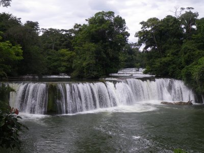
The Chiyú river is a kayak amusement park filled with fun travertine drops lined by pretty jungle. Plus one Big 'Un.
A full description is in the Mayan Whitewater Guatemala guidebook, which displays the Big 'Un on the cover.
Descent History: The first descent was in January 2005 by George Pratsinak and myself. George ran the Big 'Un on the left. I checked out the part below the village in November 2009.
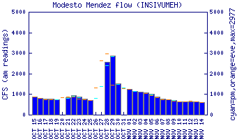
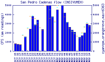
Flow Notes: There are gauges downstream on the Río Gracias a Dios (flows uncorrelated). If I am very curious
about the flow I call Felipe at Oasis Chiyú at 4826-5247. The river is better when full, but is
fun at low water also.
 |
 |
Nearby Tourist Attractions: The falls are the area's main attraction.