 rivers | guidebooks | forums | tips | other
.jpg)
Class: V, IV-, III+; Ave. Gradient: 13 m/km becoming flat; Portages: yes; Length: up to 27.5 km; Time: up to 8 hours
Season: June to October; rafts? no; Highlights: some fun for the Jalapa locals; Crux move: class V/V+ in the High Middle
Water Quality: poor; Water Temperature: cold
PI: San José (1340 m), Finca Porvenir (1160 m), or Las Agujitas bridge (1067 m); TO: Potrillo farm (995 m)
Description: (click here for general notes about my descriptions)
The Río Jalapa throws up many obstacles to routine boating on its long journey to the Río Motagua. The biggest obstacle is the usual lack of water. Besides that, the Upper has the town sewers, the Canyon section has the canyons, and Middle also starts and ends with some challenging drops. Enjoy them anyway, or at least the parts in between.
A full description is in the Mayan Whitewater Guatemala guidebook.
Descent History: I ran down to the Las Agujitas bridge in September 2008 (450 cfs at the To, Gualán=2.7), and down to the Potrillo farm in July 2011 (300 cfs at the same point, Gualán=3.8).
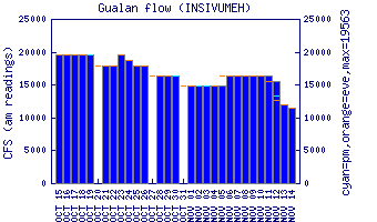
Flow Notes: The Jalapa is hard to catch. The Gualán gives the best hint to water levels, you will want to see levels around 3.0 or higher to have a good shot (you could also verify that gauges on the Río Esclavos and Río Ostúa are up since their headwaters are in the same general area).
 |
Nearby Tourist Attractions: Not much in this area.