 rivers | guidebooks | forums | tips | other
.jpg)
Class: V; Ave. Gradient: 24 m/km becoming flat; Portages: many; Length: 23 km; Time: 3 days
Season: June to October; rafts? no; Highlights: remote and challenging; Crux move: not getting hurt
Water Quality: poor; Water Temperature: medium
PI: El Sunzo (867 m); TO: El Rosario (312 m)
Description: (click here for general notes about my descriptions)
The most challenging part of the Río Jalapa is the Canyons section. It is creeky, long, remote, and committing. The run-to-portage ratio is pretty good, though the unpredictable water levels on a multi-day trip is a factor to consider. At higher water I got a bit nervous in there and felt like I was flirting with disaster on numerous occasions, though it was more than balanced at the end by the sense of accomplishment. At more usual lower water levels the rapids are generally mankey and technical. There is a significant amount of class V in the creek; luckily almost all of it is portageable.
A full description is in the Mayan Whitewater Guatemala guidebook.
Descent History: Nils Saubès and I explored this in September 2014. We survived a nighttime flash flood but came out grinning. We ran some rapids as high as 1,500 cfs.
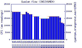
Flow Notes: The Jalapa Canyons run is one of the trickiest to get a nice medium water level. Most of the season the water is too low, then it jumps up for a day or two and then goes back down. Flash floods are a serious concern given the length and remoteness of the Canyons; Nils Saubes and I experienced this first-hand. Do not venture into the Canyons when any hurricane, tropical storm, or tropical wave is in the area. While the Gualán gauge is not a perfect predictor, you are probably shooting for a reading of 2.5 to 3.0 (you could also verify that gauges on the Río Esclavos and Río Ostúa are up since their headwaters are in the same general area). Odds are the water level will be marginal, and so cracking your boat on the rocks is another risk to factor in.
 |
Nearby Tourist Attractions: Not much in this area.