 rivers | guidebooks | forums | tips | other
.jpg)
Class: IV; Ave. Gradient: 21 m/km; Portages: some on Río Nicá; Length: up to 23 km; Time: up to 5 hours
Season: June, August to October; rafts? no; Highlights: continuous steep boogie water; Crux move: bringing a short and tough boat
Water Quality: average; Water Temperature: cool
PI: Finca El Jardín (495 m), Finca El Brote (765 m), or in between; TO: Nahualate bridge (155 m) or above
Description: (click here for general notes about my descriptions)
The Río Cutzán creek has some of the prettiest and most fun rapids on the Pacifi coast, if you are lucky enough to be around during hard rains. The upstream Río Nicá run is also fun but even harder to catch. An interesting side note is that these rivers are reputed to be the main seeps of Lago Atitlán (which has no surface outlet), along with some other creeks of the far upper Río Nahualate.
A full description is in the Mayan Whitewater Guatemala guidebook.
Descent History: I first ran the Río Cutzán in September 2005 (150 cfs at the PI), and the Río Nicá in october 2010 (250 cfs at the PI). Both times it was by my lonesome.
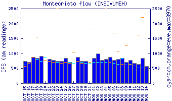
Flow Notes: Heavy recent rain is needed for these runs. There is a gauge at the Montecristo bridge.
 |
Nearby Tourist Attractions: Lago Atitlán.