 rivers | guidebooks | forums | tips | other
Class: IV+; Ave. Gradient: 9 m/km; Portages: maybe one; Length: 10-27 km; Time: 1-3 hours
Season: June to October; rafts? yes; Highlights: nice canyon scenery; Crux move: not looking Canadian
Water Quality: poor; Water Temperature: cool
PI: Siete Platos bridge (1612 m) or El Zapote bridge (1510 m); TO: San Gaspar Ixchil (1395 m)
Description: (click here for general notes about my descriptions)
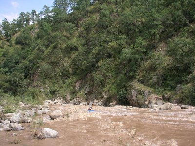
The Middle Río Cuilco deserves to be run more often than it is (only once to date?). It offers pretty canyon scenery and a large variety of rapids. The canyon is more broken-up than the end of the Upper section, but still with high peaks on both sides of the river giving a Nepal-like atmosphere. If you are lucky you will see parrots and falcons.
A full description is in the Mayan Whitewater Guatemala guidebook.
Descent History: Gary Lee Chrisman and I explored this run in October 2004.
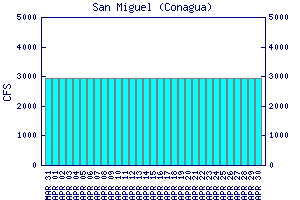
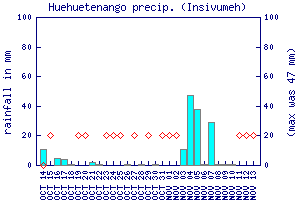
Flow Notes: The only online gauge is way downstream in Mexico. (This is the San Miguel gauge on the Río Independencia. I have not correlated flows to this gauge, but I think you would want to see 15,000 cfs or more on that gauge to have a shot of running the Middle Río Cuilco.) you will want to see regular rain on the Huehuetenango and Quetzaltenango rain gauges. Expect (and hope for) brown water.
 |
 |
Nearby Tourist Attractions: not much in this area.