 rivers | guidebooks | forums | tips | other
.jpg)
Class: IV+, II, IV; Ave. Gradient: 2 m/km; Portages: maybe wood; Length: up to 34.5 km; Time: up to 6 hours
Season: July to January; rafts? no; Highlights: jungly canyons; Crux move: catching the water
Water Quality: decent; Water Temperature: medium
PI: Xalajachiviez (193 m), or lower; TO: Finca Sacuitz
Description: (click here for general notes about my descriptions)
The Río Chahal is a lovely green creek that is mostly flat but hides some interesting canyons, as well as a nice beginner run. It’s worth looking at if you are in the area checking out the Río Chiyú at high water and have extra time.
A full description is in the Mayan Whitewater Guatemala guidebook.
Descent History: George Pratsinak, Peter zurfl ieh, Tom Morrison, and I explored this one in january 2013.
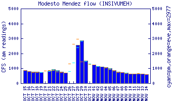
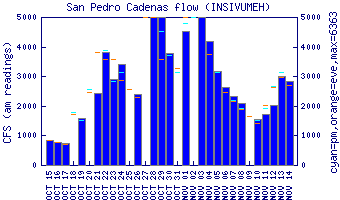
Flow Notes: While the Chahal always has some water in the rainy season, you need some luck and heavy rains to catch a nice high flow on the Chahal. We got lucky in 2013. I have not tried to run it with normal/low flows. There are gauges downstream on the Río Gracias a Dios (flows uncorrelated).
 |
 |
Nearby Tourist Attractions: Finca Paraíso hot springs, Río Dulce canyon boat trip and Garifuna culture in Livingston.