 rivers | guidebooks | forums | tips | other
Class: I/II; Ave. Gradient: 0.2 m/km; Portages: none; Length: 42 km; Time: 1 day
Season: year-round; rafts? yes; Highlights: side falls to visit; small canyon; Crux Move: motorboats plying lower parts
Water Quality: good; Water Temperature: medium
PI: Lacantún/Chixoy confluence (99 m); TO: Frontera Corozal (90 m)
Description: (click here for general notes about my descriptions)
The Upper Usumacinta provides some float possibilities through some pretty scenery, limestone-lined banks, and a minor canyon. It may be of interest to those wishing a long day’s paddle or others wishing to make a longer journey on the Main river by starting at points upstream. The Upper section starts where the Usumacinta is formed from the junction of Ríos Lacantún and Chixoy (Salinas) near Benemérito, and not far after Río de la Pasión joins the Chixoy. In this “Upper” section, as well as downstream into the “Main” run for ~100 km, the Usumacinta forms the squiggly part of the border between Mexico and Guatemala.
A full description is in the Mayan Whitewater: Chiapas & Belize guidebook.
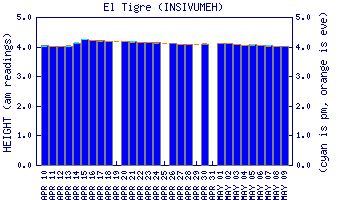
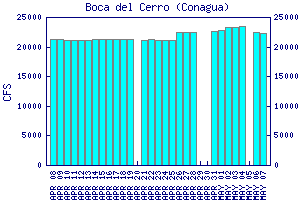
Flow Notes: There is an online gauge on this run at "El Tigre", and another gauge downstream at Boca del Cerro. The river is never too high or too low to float, though camping beaches can be covered when the water is high:
 |

click here for the height graph |
Nearby Tourist Attractions: more Mayan ruins at Palenque and Bonampak.