 rivers | guidebooks | forums | tips | other
Class: III/IV; Ave. Gradient: 10 m/km; Portages: none; Length: 4 km; Time: 1 hour
Season: all year; rafts? yes; Highlights: scenic short canyon with tough rapids; Crux Move: TO politics
Water Quality: good; Water Temperature: cold
PI/TO: Naranjal bridge (1160m) to highway bridge (lower: Bambú, 690m, to San Juan or Río Jataté)
Description: (click here for general notes about my descriptions)
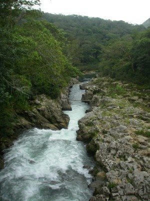
This short canyon section is the final part of Río Santa Cruz before it joins the Jataté and is a great initial jaunt before tackling the longer, more committing canyons nearby on the Jataté. It was often paddled as the first part of a multi-day raft-support journey down the main Jataté, and ideally done by participants while the cargo rafts were rigged and loaded at Emiliano Zapata (which is at the end of this section and start of the mellow valley Jataté section.
A full description is in the Mayan Whitewater: Chiapas & Belize guidebook.
*This run is marked politically sensitive due to past confrontations with Zapatista communities in the Jataté valley. Permission should be requested before putting on. Please read the Upper Middle Valley footnote carefully.
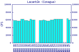
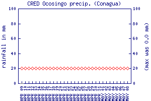
Flow Notes:Río Santa Cruz is sizeable—it drains 720 km2 vs. the Jatate’s 1270 km2 where they join—so the Santa Cruz probably has on average about 60% of the fl ow of the Jataté (or around 6% of the Río Lacantún gauge flow). It should have enough water to float most of the year, though it could get bony at times February-May. The Ocosingo rain gauge can also give some hints as to levels.
 |

|
Nearby Tourist Attractions: Toniná Mayan ruins.