 rivers | guidebooks | forums | tips | other
Class: IV; Ave. Gradient: 10 m/km; Portages: none; Length: 26 km; Time: 4:00
Season: August to December; Rafts? no; Highlights: nice moderate IV run; Crux move: short solid class IV section
Water Quality: decent; Water Temperature: medium
PI: Vicente Guerrero-El Naranjo bridge (elev: 350 m); TO: Ostuacán
Description: (click here for general notes about my descriptions)
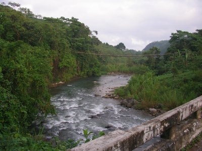
The Magdalena is a lovely trip through a little-visited part of Chiapas. It serves up a full portion of intermediate-plus rapids while limiting the solid class IV.
A full description is in the Mayan Whitewater: Chiapas & Belize guidebook.
Flow Notes: There is a convenient online gauge at Sayula, not far downstream of Ostuacan, linked to below. In 2006, 3400 cfs on the gauge was really 1000 cfs at Ostuacán (and gave 450 cfs at the PI). September to November are the most reliable months.

click here for the height graph |
Accommodations: There is at least one hotel in Ixtacomitán.
Nearby Tourist Attractions: Chichonal volcano with warm crater lake.