 rivers | guidebooks | forums | tips | other
Class: IV-; Ave. Gradient: 12 m/km; Portages: 1; Length: 14 km; Time: 2:30
Season: August to October; Rafts? no; Highlights: nice intermediate creek; Crux move: keeping your boat off the rocks
Water Quality: decent; Water Temperature: medium?
PI: bridge above Ixtapa (elev: 1195 m); TO: bridge below Ixtapa
Description: (click here for general notes about my descriptions)
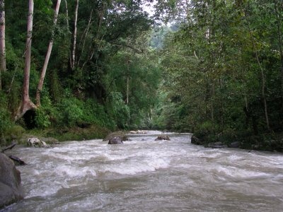
The Río Hondo is a pretty little creek worth a look if you like rocks but don't want to get too extreme.
A full description is in the Mayan Whitewater: Chiapas & Belize guidebook.
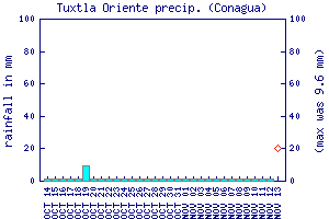
Flow Notes: There is no online gauge, which is unfortunate since in some years the water is not easy to catch. But a quick scout at the TO bridge is probably not too far out of your way if you're checking out other runs in this part of Chiapas. The Río Totopac gauge to the west, should give you some clue. Your best bet is in September/October. Below I show the Tuxtla rain gauge, which can give some clues about recent rainfall patterns.
 |
Accommodations: There are basic hotels in Ixtapa, or you could stay in Tuxtla or San Cristobal.
Nearby Tourist Attractions: Chorreadero Cave/Falls and the Sumidero Canyon. You are also not far from colonial town of San Cristobal de las Casas.