 rivers | guidebooks | forums | tips | other
Class: IV-; Ave. Gradient: 20 m/km; Portages: 1 (V+); Length: 8 km; Time: 2.5 hours
Season: August to October; rafts? no; Highlights: pretty sandstone riverbed; Crux Move: catching the water
Water Quality: good; Water Temperature: cool
PI: roadside (elev.: 840m); TO: Guerrero bridge
Description: (click here for general notes about my descriptions)
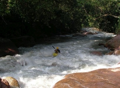
The Guerrero is a lovely little creek draining a sandstone massif, unusual in these parts. If you're in the area during the height of the rainy season it's worth checking out.
A full description is in the Mayan Whitewater: Chiapas & Belize guidebook.
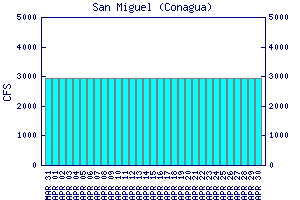
Flow Notes: The only gauge is way downstream on the Río Independencia, linked to below. However, the Guerrero's fractional contribution is very small. You will need some luck to catch a boatable flow. My impressions are with 700 cfs at the TO.

click here for the height graph |
Accommodations: Frontera Comalapa has several budget hotels.
Nearby Tourist Attractions: Not much in this area.