 rivers | guidebooks | forums | tips | other
Class: IV; Ave. Gradient: 19 m/km; Portages: none; Length: up to 21 km; Time: 3:30
Season: June to October; rafts? lower parts; Highlights: play waves; Crux move: praying for a hydro release
Water Quality: poor; Water Temperature: not noted
PI: upstream of Unión Roja (elev: 580 m); TO: Tapachula bridge or Malpaso bridge
Description: (click here for general notes about my descriptions)
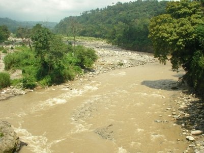
With its drainage reaching far into Guatemala, the Río Coatán is is one of the larger streams in the Tapachula area, and can be counted on for some fun play, especially when the hydro is operating. Above the hydro the river is a wide-open creek, partially diverted for the hydro. The river bed is bouldery (granite) and wide, and regularly flood-ravaged by storms
A full description is in the Mayan Whitewater: Chiapas & Belize guidebook.
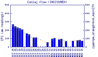
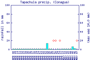
Flow Notes: There is a gauge way upstream in Guatemala (no correlation data). Other coastal gauges can give you an idea of trends, as can the Tapachula rain gauge, shown below. Check the flow where the stream crosses the coastal highway just west of Tapachula at km 282.
 |
 |
Accommodations: Tapachula has many hotel options.
Nearby Tourist Attractions: Mayan ruins at Izapa; hiking to Tacaná volcano; the unassuming beach town at Puerto Madero.