 rivers | guidebooks | forums | tips | other
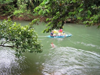
(photo courtesy of Back-a-Bush Guesthouse)
Class: II-; Ave. Gradient: 1 m/km; Portages: trees?; Length: 13/17 km; Time: 2 to 7 hours.
Season: year-round; rafts? yes; Highlights: relaxing; Crux Move: spotting downed trees.
Water Quality: good; Water Temperature: medium.
PI: San Miguel/San Pedro (elev: 30m); TO: Big Falls bridge on Southern Highway.
Description: (click here for general notes about my descriptions)
A full description is in the Mayan Whitewater: Chiapas & Belize guidebook.
mayanwhitewater.com, the guide to the rivers of Chiapas, Guatemala, Belize, Honduras, El Salvador, and Nicaragua © 2008-2026
![]()